The Charter 1752
The Charter required a layout of the land. In accordance, a survey was made of the towns of Chesterfield, Westmoreland, and Walpole by Josiah Willard and Benjamin Bellows. This was finished in March 1752.
Chesterfield's Charter Outline – Feb 11, 1752 Under George II
- 23,040 acres – 6 square miles – between Ashuelots, Winchester – Called Chesterfield
- Once 50 families settled – can run 2 fairs – one market a week
- Town Officers – first Wed in March and Town meeting should happen annually
- Grantee: Cultivate 5 acres within 5 years for every 50 acres contained in their share or risk forfeiture back to crown
- All White & other Pine Trees within township fit for Masting of Royal Navy be preserved and not felled without special license – disobey – land forfeiture
- Center of Town lots should be awarded to each grantee – one acre each – paid for 10 years – one ear of Indian Corn due on January 1st starting in 1753 – thus a plan for the town was made.
- Tax: Each proprietor, settler or inhabitant shall pay 1 shilling for every 100 acres or part of after 1762. This woudl be paid to the Council Chamber in Portsmouth on January 1st of each year – or forfeiture
- Signed by Gov. Benning Wentworth, Theodore Atkinson, Sec’y
However, the hostiles delayed settlement of the town. It was not until The French and Indian War, also know as the 6th Indian War or the Seven Years War, ended with the Treaty of Paris was settlement possible. Learn more about this in our Bits of History page: Six Reasons Why Chesterfield's Settlement was Delayed
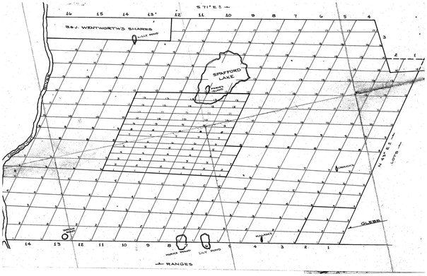
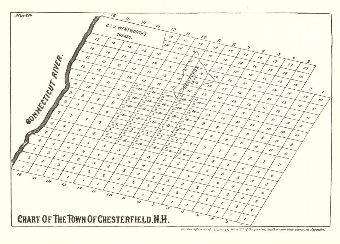
The town lot layout may have been done in 1760/1 as that is when the first deeds were recorded. There are 16 “ranges”, each range is divided into lots of 100 acres each (more or less), and having a length of 160 rods, (measured from east to west, and a breath of 100 rods. They are numbered from south to north. (A rod is equal to 16 1/2 feet.)
The Charter proved that “town-lots” of 1-square acre should be laid out as near the center of town as the land would permit. It is not known if these lots were laid out or not. But some of the 100 acre lots are divided into half-lots or “50-acre lots”, which are designated in old deeds as “house-lots”.
Gov. Wentworth’s share was speculative, and it is unknown what happened to it. Part of it was purchased or in some way deeded to Samuel Davis. In 1780, all 300 acres were purchased by William Randall.
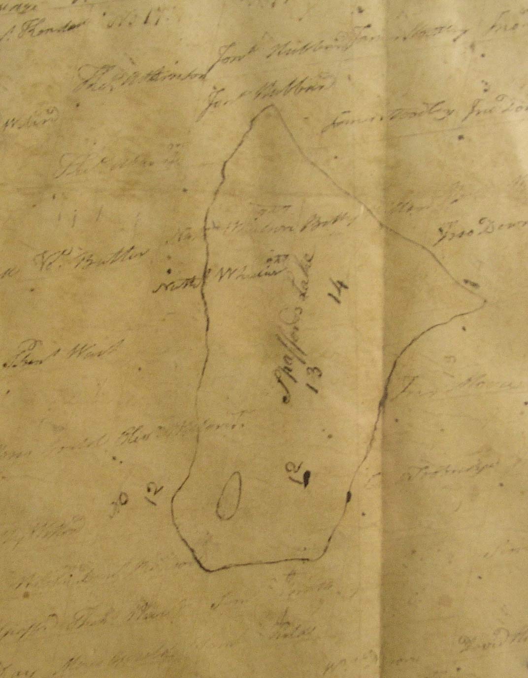
As was traditional, the original charter was mapped out on animal-skin parchment.
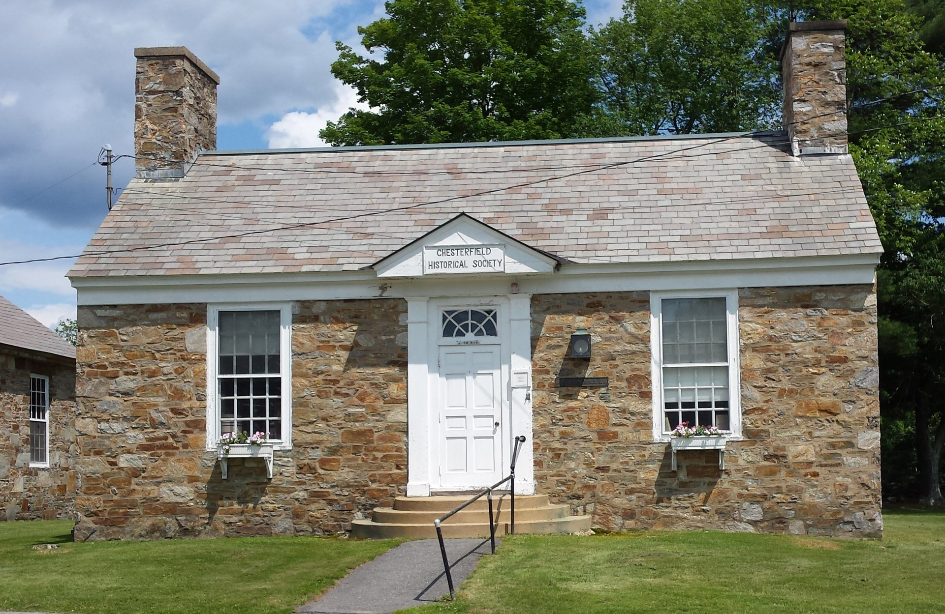
An 1760sh animal parchment chart of the town was discovered in a local trunk. After a lengthy process, it was restored and placed into a special frame and is now stored as part of the CHS archives. A duplicate was made which is on display in the CHS building. Due to the fragile nature of the original, it will be displayed only during special events.
Below are printable copies of this page.


